Rock formation · United States
Waterpocket Fold
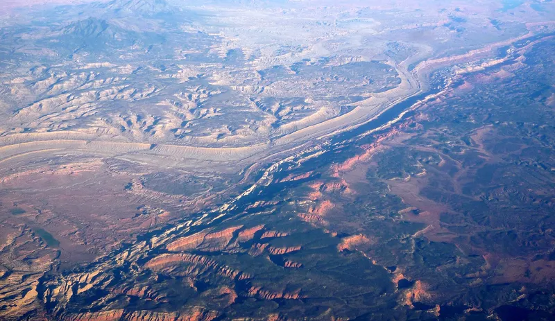
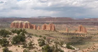
The Waterpocket Fold is a long wrinkle in the Earth's crust in Capitol Reef National Park in south-central Utah, United States, with a high point of 1,989 m. Tilted layers of sandstone have eroded into domes, cliffs and canyons. Visitors walk the canyons and washes, and drive the roads along the base of the fold.
- Elevation
- 1,989 m
- Coordinates
- 38.0217° N, 111.1210° W
See the map, recent photos, reviews and routes that pass by, and save it for your trip.