Mountain · Malawi
Mulanje Massif
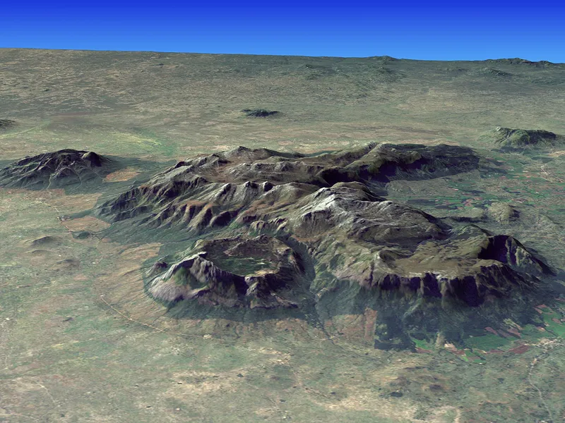
The Mulanje Massif is a granite mountain mass in southern Malawi, rising steeply from the plains to a high plateau, with its highest point, Sapitwa, at about 3,002 m. It is covered by grassland, streams, pools and patches of Mulanje cedar forest. A network of mountain huts connects trails across the plateau, and Likhubula is a common starting point.
- Elevation
- 3,002 m
- Coordinates
- 15.9000° S, 35.6500° E
See the map, recent photos, reviews and routes that pass by, and save it for your trip.